The Pokot tribe
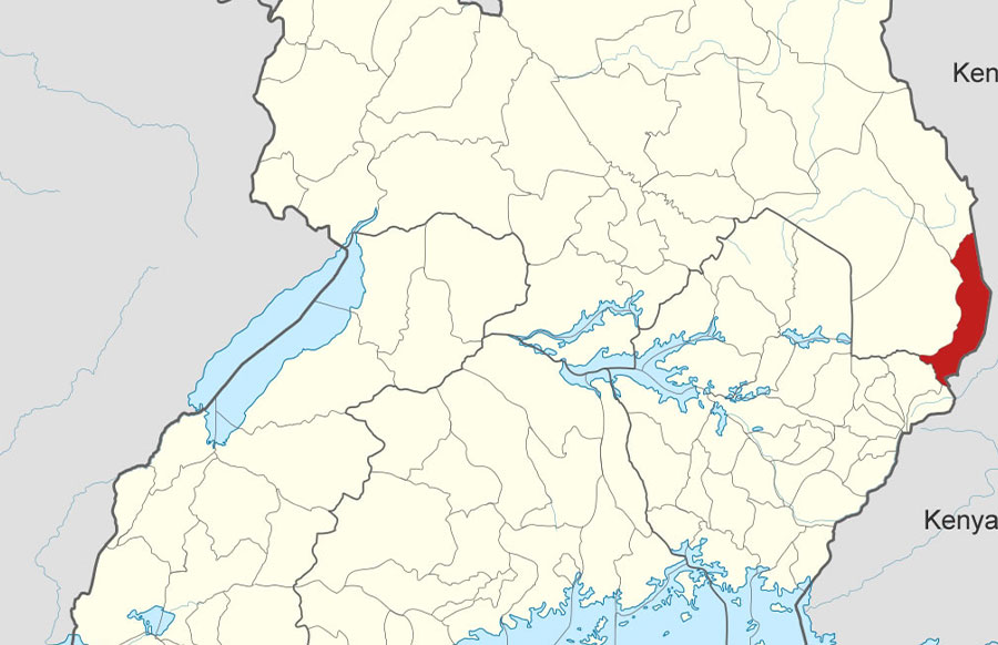
The Pokot are a tribe in Eastern and North-eastern Uganda on Uganda’s border with Kenya.
The Pokot belong to the Nilotic ethnic group. They are part of the larger Pokot people in Uganda and Kenya who are part of the Kalenjin group of people. The Pokot in Uganda and Kenya, originated as a result of the assimilation of the Chok people in Kenya into the Pokotozek people from Uganda between the late 18th century and early 19th century. The Pokotozek people were part of the Maliri people who migrated to Uganda between AD 1200-1400 settling in present-day Kotido, and Kaabong districts. However, the Maliri were displaced by the Jie people in Uganda causing them to settle around Koten Hill in North eastern Uganda. The Jie and Turkana people further dispalced the Maliri from Koten Hill causing them to split into two groups; one group, called Merille, headed east towards the Turkana escarpment in Kenya from where they moved north settling in present-day Ethiopia. The other group, called Pokotozek, headed south-east to Kerio Valley in Kenya where they displaced the Loikop people who were inhabiting Kerio Valley. The agricultural Chok people who were inhabiting the Elgeyo escarpment above Kerio Valley, linked with the pastoral Pokotozek in Kerio Valley and together became the Pokot tribe. The Pokot who extended to Uganda became the Ugandan Pokot while the majority who stayed in Kenya became the Kenyan Pokot. The Ugandan Pokot belong to Amudat region (part of Karamoja region) and are governed in a clan system composed of clan elders and opinion leaders.
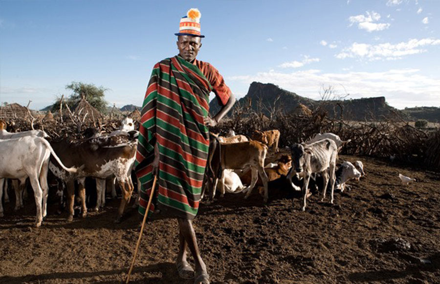
The Pokot are mainly pastoral people but also do some agriculture. They farm Sorghum and Maize. Their staple food is Maize and Milk. From maize flour, they make bread which is eaten with sour milk.
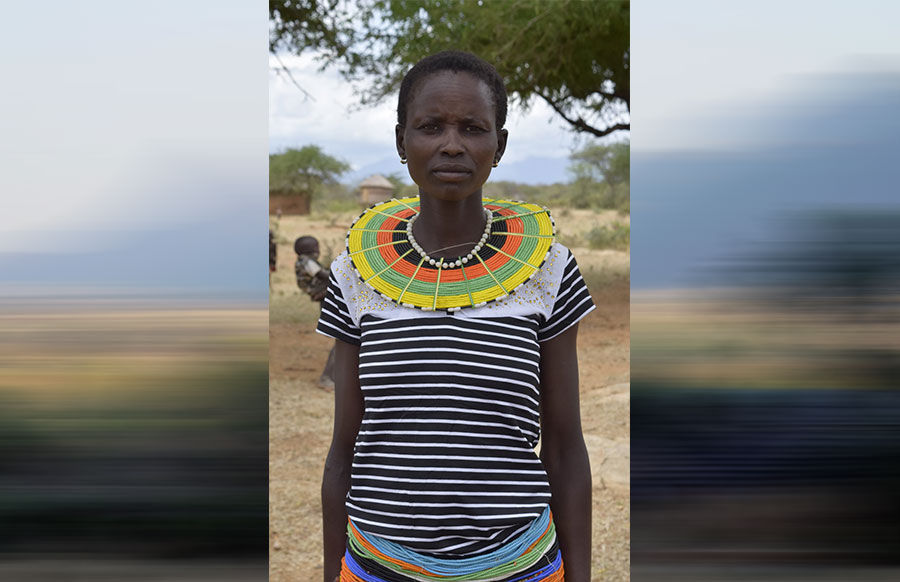
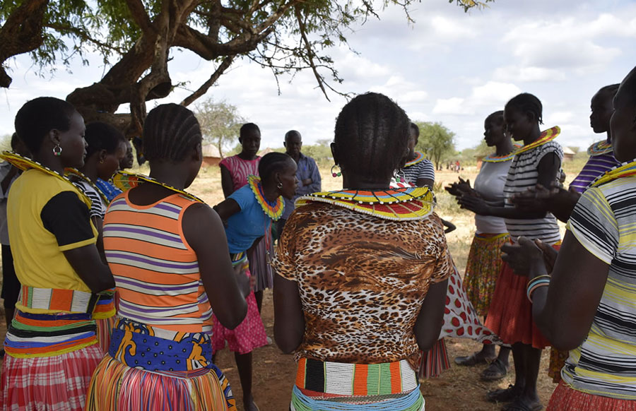
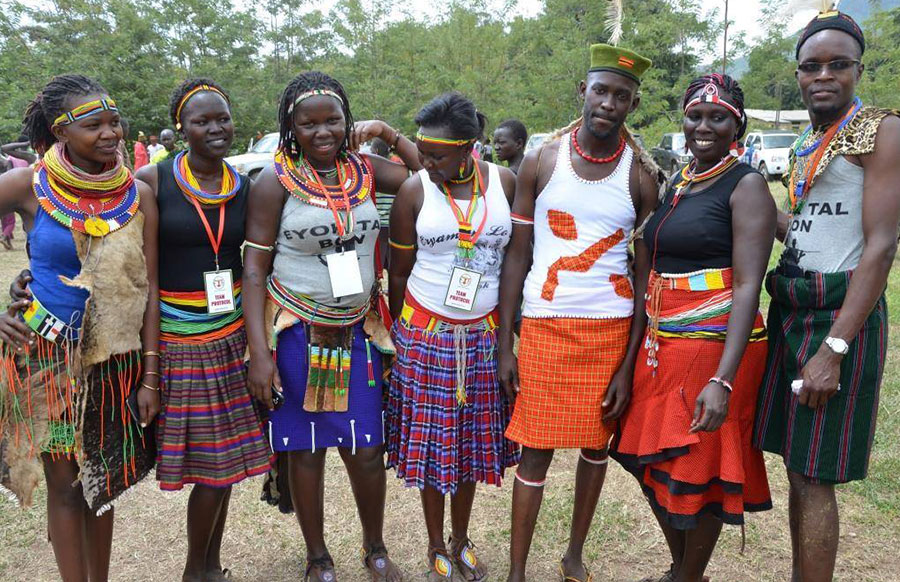
The Pokot dress code is a Maasai shuka and beads jewelry. Men dress in a Maasai shuka either tied diagonally from their shoulder, or in form of a skirt. Women dress in a Maasai shuka skirt with a beads belt, and a large beads necklace. Beads bangles, necklaces, bracelets and headbands are also worn by women.
The Pokot language is called “Pokot”.
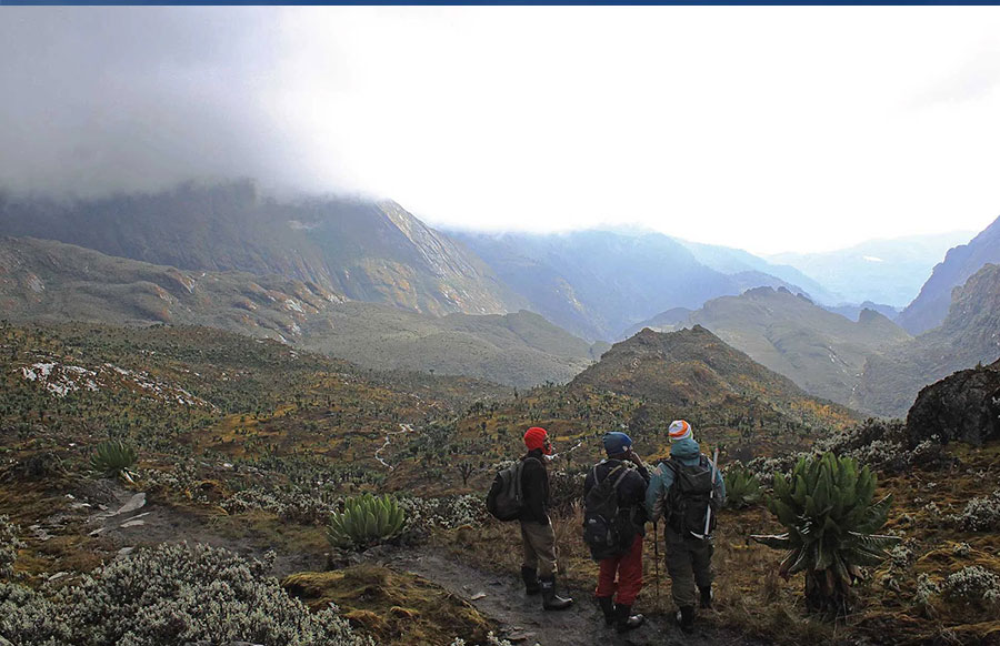
The Pokot are the guardians and custodians of the semi-arid region of Amudat which is mainly composed of rocky soils, thickets and scrubs.
There are 104,880 Pokot (2014 census) in Uganda.
The Pokot are mainly found in Amudat district.
The Nyangia tribe
The Nyangia, also called Nyang’i, Nyangea or Nyangiya, are a tribe in North-eastern Uganda on the slopes of Nyangea Mountains, west of Kidepo Valley National Park, on Uganda’s border with South Sudan.
The Nyangia belong to the Nilotic ethnic group. They are said to have originated from the IK people who currently live on Mount Morungole on Uganda’s north-eastern border with Kenya. According to the legend, after the IK had migrated from Ethiopia to North eastern Uganda in the 16th century, they split into three groups: the So, also called Tepeth (who moved to Mt. Moroto, Mt. Napak, and Mt. Kadam), the Nyangia (who moved to the Nyang’i/Nyangea mountains), and the IK (who are living on Mt. Morungole). The Nyangia belong to Nyang’i region (on Nyangea mountains, part of Karamoja region) and are governed in a clan system composed of clan elders and opinion leaders.
The Nyangia are agricultural people. They farm sorghum, millet, maize, beans, and other vegetables. Their staple food is Sorghum and Maize. Sorghum or Maize flour is used to make bread. The Nyangia were previously hunter gatherers and pastoralists just like the IK, So (Tepeth), Mening and Napore. But rival tribes, and relocation to mountain slopes caused them to adopt agriculture.
The Nyangia traditional dress code is a Maasai shuka and beads jewelry. Men dress in a Maasai shuka either tied diagonally from their shoulder, or in form of a skirt. Women dress in a Maasai shuka skirt with a beads belt. Women wear a series of bangles, necklaces, bracelets and headbands made out of beads.
The Nyangia language is called “Nyangiya” or “Nyang’i”.
The Nyangia, and the Napore, are the guardians and custodians of Nyangea Mountains which stretch from Uganda’s border with South Sudan to Karenga Community Wildlife Management Area, west of Kidepo Valley National Park. These mountains are towering mountain ranges whose grey silhouettes in the horizon are one of the defining features of Kidepo Valley National Park. The mountains, and their neighboring Lonyili hills, offer great hiking experiences.
The Nyangia, and the Napore are also the guardians and custodians of of Nyangea-Napore Forest Reserve, a 417 sq Km forest between Nyangea mountains and Kidepo Valley National Park. Nyangea-Napore Forest Reserve is home to 203 species of trees and shrubs, 220 birds species, 22 species of small mammals, and butterflies and moths.
There are 9,634 Nyangia (2014 census) in Uganda.
The Nyangia are mainly found on the slopes of Nyangea Mountains in Karenga district.
The Batuku tribe
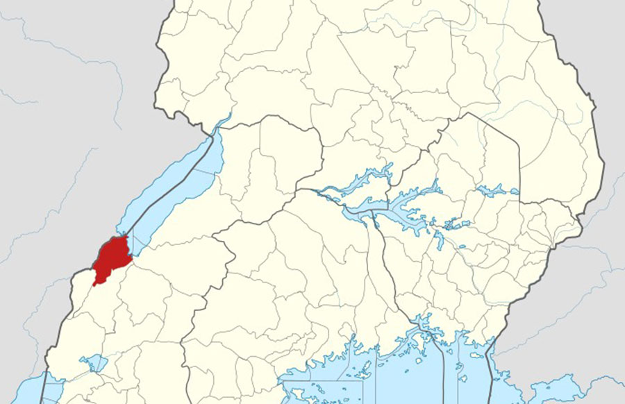
The Batuku are a tribe in Western Uganda, on the southern shores of Lake Albert on the border of Uganda and DR Congo.
The Batuku belong to the Bantu ethnic group. They are believed to be descendants of the “Abarusula”, a 19th century royal army of the Kabalega (King) of Bunyoro Kitara Kingdom. The Batuku belong to Butuku region under Tooro region led by the Omukama (king) of Tooro Kingdom. The current Omukama is: Omukama Oyo Nyimba Kabamba Iguru Rukidi IV.
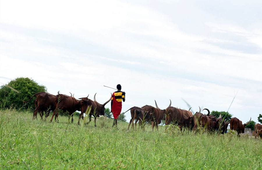
The Batuku are both cattle keepers, and fishing people. Their staple food is Milk called “Amata”, and Millet called “Oburo” (which they get from the farming neighboring communities). Millet flour is used to make millet bread which is eaten with “Enchu” (fish). Beef is only eaten when a cow is injured or when it gets stranded in a ditch, otherwise they do not slaughter their cows for meat. They also eat bananas, sweet potatoes, beans, and other vegetables which they get from their farming neighbors like the Baamba-Babwisi tribes. Their land is not suitable for farming because it has a lot of salt content. Their traditional drink is called “Obugeme”, made out of wild coconuts.
The Batuku dress code is: a lesu, and barkcloth. Men tie the lesu diagonally from one shoulder.
The Batuku dance is called “Eliba”, a celebration dance similar to the Runyege Ntogoro dance of the Banyoro tribe. The Batuku give their children pet names in an event called Empaako, just like most of the Tooro tribes, and the Banyoro. The Batuku language is called “Lutuku”.
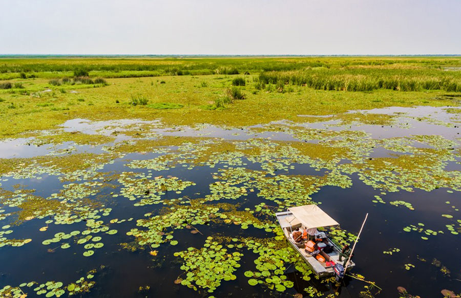
The Batuku are the guardians and custodians of the southern shores of Lake Albert, home to beautiful views of the lake, water loving birds, and wildlife. These shores are a great place for spotting birds like the Shoebill stork, which can also be spotted on a boat ride on the lake. The boat ride on the lake gives you wonderful encounters with fishermen fishing, and more birds. The Ntoroko landing site is a good place for fishing community experiences.
The Batuku, together with the Baamba-Babwisi, are the guardians and custodians of Semliki Forest, one of Africa’s most ancient and bio-diverse forests; one of the few forests that survived the last ice age (12-18,000 years ago). Semliki Forest stretches from DR Congo, where it’s called Ituri Forest, to Uganda’s Semuliki National Park in Bundibugyo (Baamba-Babwisi region), to Ntoroko (Batuku region). Semliki Forest is home to a number of wildlife which are experienced on a forest walk. Some of that wildlife is Central African wildlife – making the forest the best place to experience Central African wildlife while in Uganda. The forest, and it’s edges, are also home to Batwa communities.
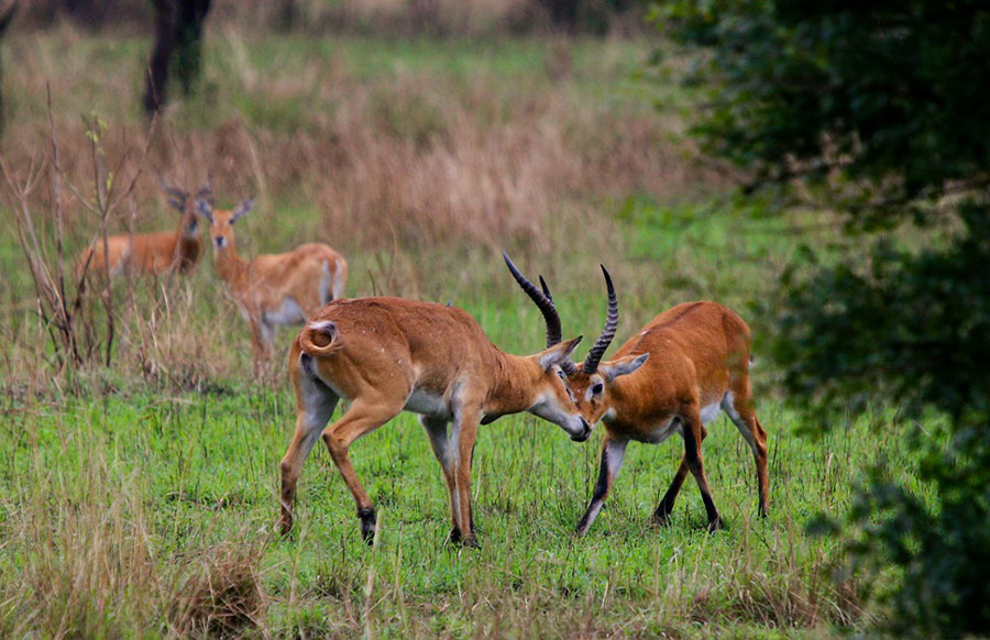
The Batuku, and the east-dwelling Baamba-Babwisi, are the guardians and custodians of the western section of Toro-Semliki Wildlife Reserve, one of Uganda’s oldest wildlife reserves gazetted in 1926. This 542 sq km reserve is home to mainly Uganda kobs, but it also has elephants and buffaloes. The reserve is one of Uganda’s most pristine, forest areas. The savannah vegetation in the reserve is good for game drives.
The Batuku are the guardians and custodians of the green hills and valleys of Semliki/Ntoroko. These hills and valleys are an amazing sight; hiking the hills is a great experience which gives you beautiful views of the distant Rwenzori mountains. The valleys are also home to a number of beautiful birds.
There are 35,350 Batuku (2014 census) in Uganda. The Batuku are found in Ntoroko district.
The Karamojong
The Karimojong, also called Karamojong, are a tribe in North-eastern Uganda in the semi-arid region of Uganda’s borders with Kenya and South Sudan.
The Karimojong belong to the Nilo-hamitic ethnic group. They originated from the same migration as the Iteso tribe: from the Habesha people of the Solomonic Dynasty that existed in Ethiopia from AD 1270 to 1974. Their origin, like the Iteso, is also connected to the Egyptian wife of the biblical, old-testament, Joseph. From Ethiopia, they moved southward through Sudan to Eastern Uganda and when they reached the foot of Mount Moroto in North-eastern Uganda, the elderly couldn’t walk any further and these exhausted elderly, called “ekar ngimojong”, birthed the Karimojong tribe. Their energetic counterparts who continued moving southward in Eastern Uganda became the Iteso tribe. The Karimojong belong to Karamoja region and are governed in a clan system.
The Karimojong are majorly pastoral people but also do agriculture. They keep livestock especially cattle, and farm maize, sunflower, millet, sorghum, cassava, sweet potatoes, groundnuts and vegetables. Their staple food is Maize and Sorghum from which flour is made. Maize and Sorghum are eaten independently with Milk, vegetables, and meat. Their drink is called “Kutokuto”, made out of Maize flour and hot water.
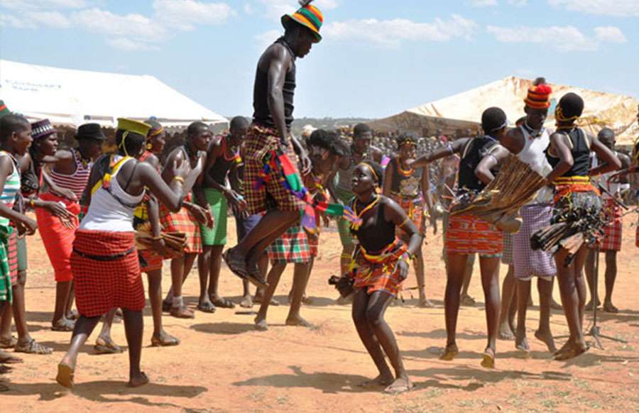
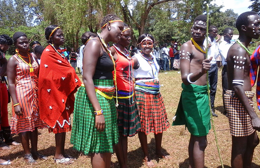
The Karimojong traditional dress code is a Maasai shuka and beads jewelry. Men dress in a Maasai shuka tied diagonally from their shoulder, or in form of a skirt. They also wear a cap/hat called “Akopiya”. Women dress in a Maasai shuka skirt. Both men and women wear a series of bangles, necklaces, bracelets and headbands made out of beads. Women also wear a beads belt. The Karimojong language is called Ngakarimojong and their dance is called “Eoya”. The Eoya dance involves a series of high straight jumps made by both men and women. According to the Karimojong, the one who jumps higher gets the most (beautiful or handsome) woman or man. The Karimojong culture is similar to that of the Maasai in Kenya and Tanzania.
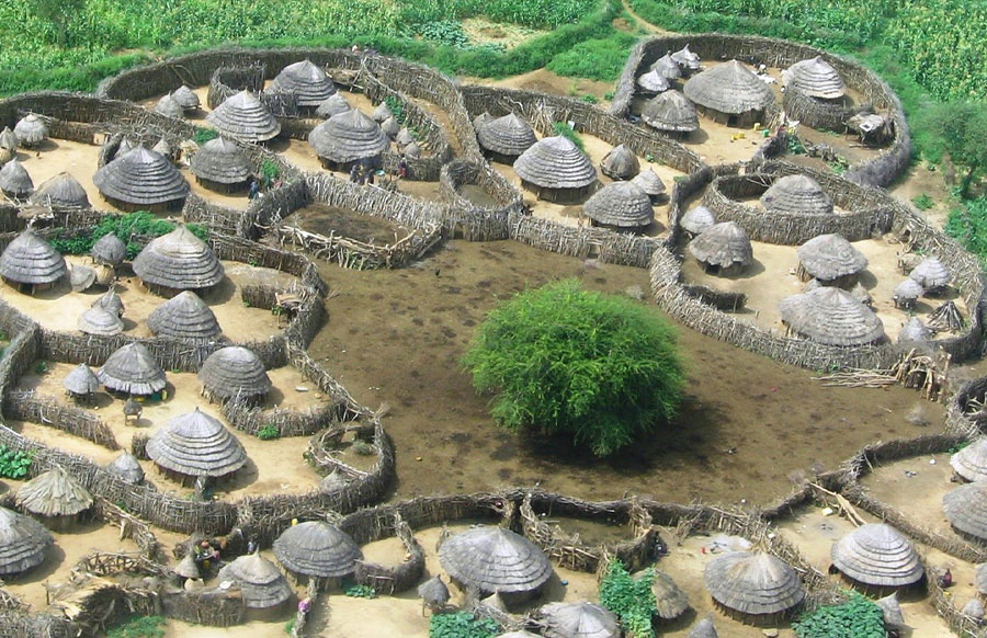
The Karimojong are known for their signature tiny wooden stool called “Ekicolong”, and their African homesteads called “Manyatta” which comprise of grass-and-wattle huts. The Manyatta are an impressive community design. Karimojong elders can be called by the names of their bulls.
The Karimojong are the guardians and custodians of Kidepo Valley National Park, a beautiful national park on Uganda’s borders with Kenya and South Sudan. It’s the 3rd largest national park in Uganda measuring 1,442 km² and it has the biggest animal diversity in Uganda. Kidepo Valley National Park is the only semi-arid national park in Uganda and its rustic savannah wilderness is one of the best in Africa. Kidepo Valley National Park is the most popular national park in Eastern Uganda, and the furthest from Uganda’s capital city. It’s also home to Lonyilli Mountain. Kidepo Valley National Park is located in Kaabong (Karamoja region).
The Karimojong are the guardians and custodians of Pien Upe Wildlife Reserve, Uganda’s fastest growing game reserve and home to a number of wildlife. Pien Upe Wildlife Reserve is located in Moroto (Karamoja region) with some southern parts in regions of southern tribes.
The Karimojong are the guardians and custodians of Mount Moroto, a towering old volcano raising 3,083 m out of the semi-arid plains of Moroto (Karamoja region). It’s the highest mountain in North-eastern Uganda and it has numerous peaks which offer great adventure experiences like hiking. The forest reserve around the mountain offers great birding experiences.
There are 371,713 Karimojong (2014 census) in Uganda. The Karimojong are mainly found in Kaabong, Abim, Kotido, Moroto, Amudat, Napak, and Nakapiripirit districts.
The Bakonzo tribe
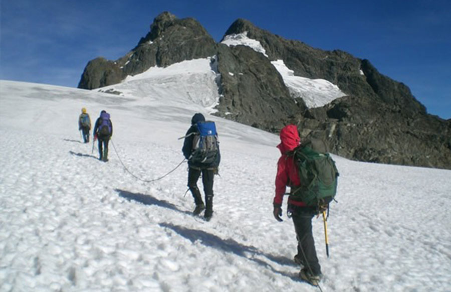
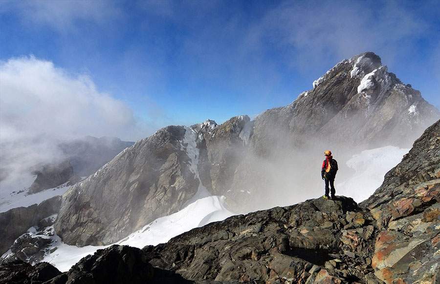
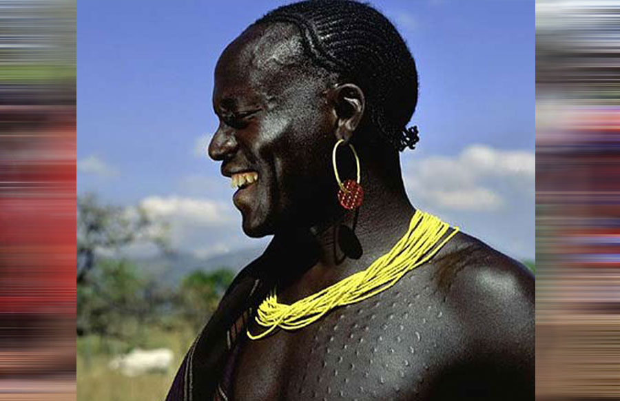
The Bakonzo are a tribe in South western Uganda on the slopes of the Rwenzori Mountains which are also called Mountains of the Moon. These snow-capped mountains which rise up to 4,890 m border Uganda and DR Congo. Some konzo speaking tribes are also found on the DR Congo side of these mountains.
The Bakonzo are sometimes called “sons of snow” because of the snowy environment of the Rwenzori Mountains.
They belong to the Bantu ethnic group. One legend has it that they migrated from Mount Elgon in Eastern Uganda together with the Baganda tribe in A.D 1300. When the Baganda decided to settle in the regions around Lake Victoria, the Bakonzo continued west up to the Rwenzori Mountains. Another legend has it that the Bakonzo have always existed in the area of the Rwenzori Mountains and that their ancestors emerged from the caves of the Rwenzori Mountains.
The Bakonzo are agricultural people, farming on the slopes of the Rwenzori Mountains up to 2,200 m high. They farm yams, beans, sweet potatoes, peanuts, soy beans, rice, wheat, cassava, coffee, bananas, and cotton, while keeping goats, sheep, and poultry.
Their naming system depends on one’s birth position in the family. For example, a first born male would be given a surname like; Baluku or Mumbere. The second born male, a surname like; Bwambale, third born male, Masereka and so on.

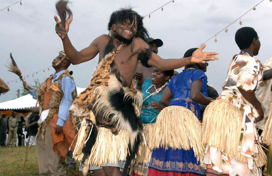
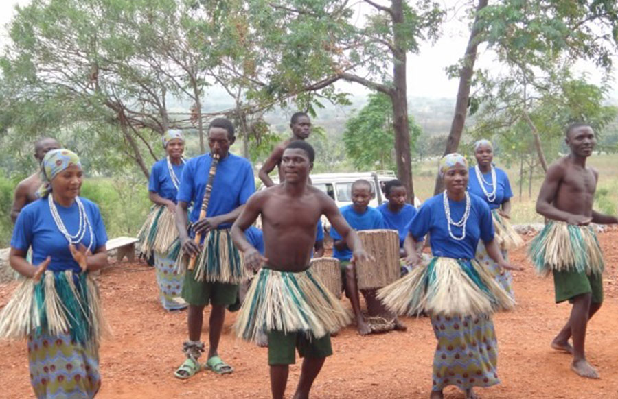
The Bakonzo circumcise their males just like the Bagisu tribe around Mount Elgon in Eastern Uganda.
They are the original custodians and guardians of the Rwenzori Mountains and act as tour guides to visitors hiking the Rwenzori Mountains. The Rwenzori Mountains are also protected under Rwenzori Mountains National Park which was established in 1991 and was recognized as a UNESCO World Heritage site in 1994.
Queen Elizabeth National Park, Uganda’s second largest national park, is also found in the region of the Bakonzo.
Together with the Baamba tribe, the Bakonzo are part of the Rwenzururu kingdom which is found in the Rwenzori Mountains region. They are the biggest population in that kingdome, numbering 850,646 Bakonzo (2014 census).
The Bakonzo and Baamba were once ruled under the neighboring Toro kingdom (Batoro tribe) but after a series of fights for their independence, which reached heights in the mid-1960s and early 1980s, they broke away and created their own kingdom: The Rwenzururu kingdom. The Rwenzururu kingdom was officially recognized in Uganda in 2008.
The Bakonzo are found in Kasese, Bundibugyo and Ntoroko Districts.
